Type: folded
Scale: 1:80,000 - 1:50,000
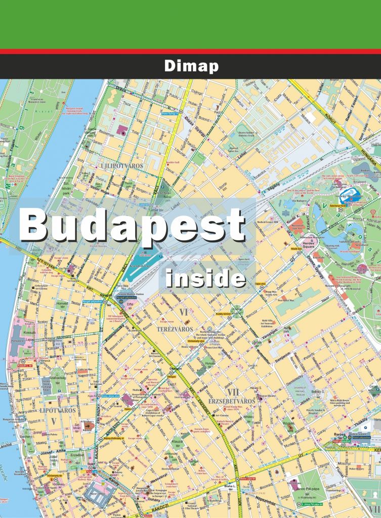
GPS compatible map for hikers and bikers. 28 large scale inset maps depict the most interesting tourist destinations and the holiday resorts.
Type: folded
Scale:
Illustrated map of castles/fortresses in historical Hungary (Carpathians Basin).
Type: spiral-bound
Scale: 1:20,000
Besides the capital of Hungary it contains the area of other 44 settlements of the surroundings. With street guide.
Type: spiral-bound
Scale: 1:250,000/1:20,000
Description: Detailed atlas of Hungary and Budapest in one volume Edition of 2014.
Type: bicycle guide & atlas, spiral-bound
Scale: 1:80,000
Description: Detailed atlas of the Kisalföld ("Small Plain") region, including with 26 proposed routes, town maps, sights and useful information. © Frigoria.
Type: bicycle guide & atlas, spiral-bound
Scale: 1:80,000
Detailed atlas of the Lake and surroundings, including 24 proposed routes, town maps, list of sights and useful information. © Frigoria
Type: bicycle guide & atlas, spiral-bound
Scale: 1:80,000
Cycle and water tour guide of the region. It includes detailed maps, tour recommendations, details of interesting sights and useful information. © Frigoria
Type: bicycle guide & atlas, spiral-bound
Scale: 1:80,000
Detailed atlas of the 'Őrség' and Alpine Foothills regions (West Hungary), included 23 tour recommendations, town maps, detailes of sights and useful information. © Frigoria
Type: spiral-bound
Scale: 1:250,000
New edition, 2022
The area of Hungary by 81 atlas pages with index and(ZIP codes. "Inner city" maps of 100 towns and 15 tourist maps of scenic spots.
Type: PDF files
Scale: 1:250,000
The area of Hungary by 81 atlas pages with index (ZIP codes). "Inner city" maps of 100 towns and 15 tourist maps of scenic spots. Size: 37 MB (Hungary) + 11 MB (others).