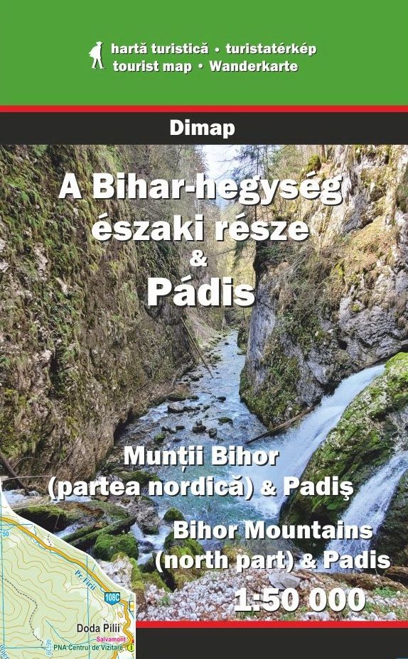
Type: file
Scale: 1:50,000
New publication
You can buy it from Avenza Map Store
$ 9.99 USD
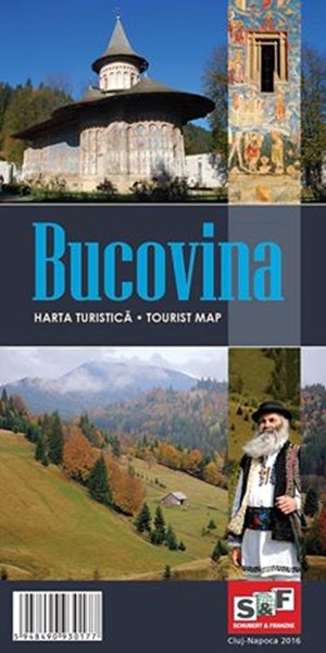
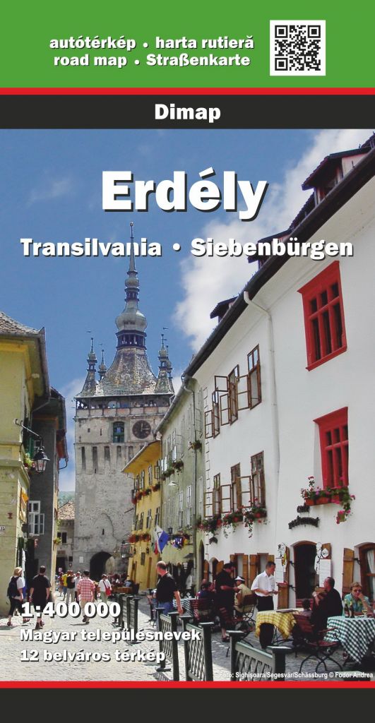
Type: folded
Scale: 1:160,000
Road map of the famous "Monasteries Region" of Bucovina. Guide in Romanian and in English about the sights.
€ 16,00
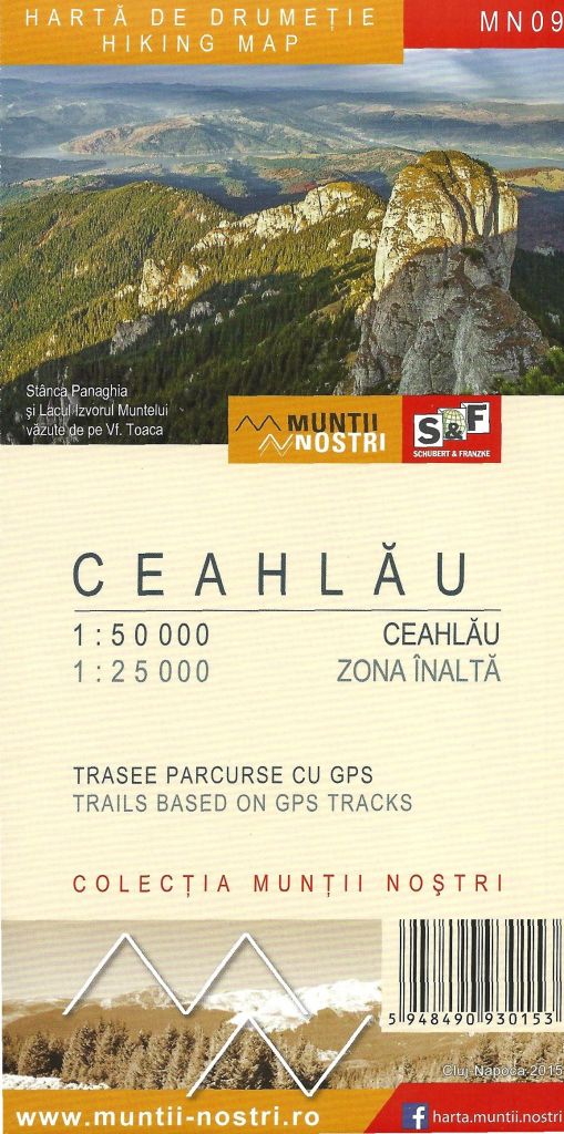
Type: folded
Scale: 1:50,000; 1:25,000
Hiking map and guide with many trails based on GPS tracks. Descriptions in Romanian and in English © Schubert & Franzke.
€ 16,00
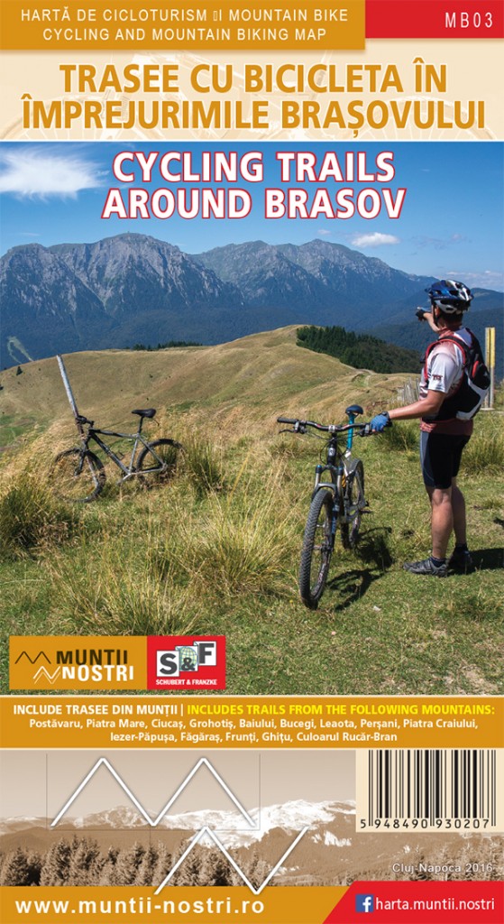
Type: folded
Scale: 1:35,000 — 1:80,000
Map-sheets of 18 biker zones of the mountains surrounding Brasov © Schubert & Franzke
€ 22,00
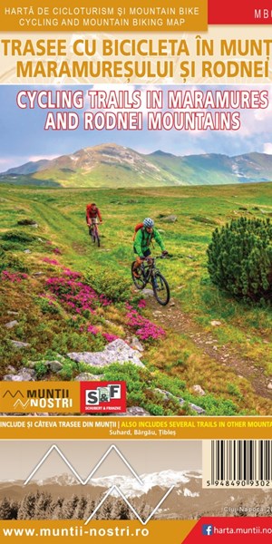
Type: folded
Scale: 1:35,000 — 1:80,000
Map-sheets of 12 biker zones of the mountains © Schubert & Franzke
€ 24,00
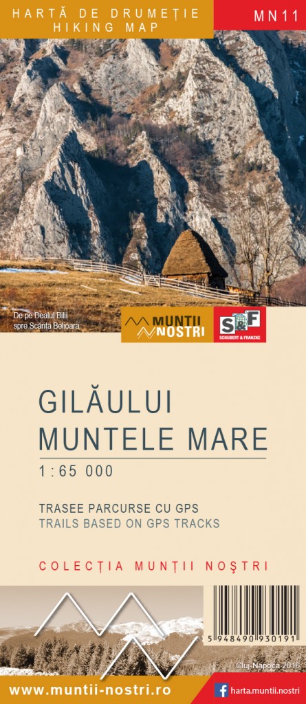
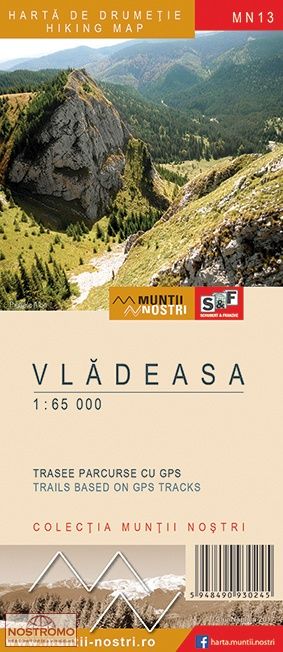
Type: folded
Scale: 1:65,000
Hiking map with trails based on GPS tracks. Guide in Romanian and in English © Schubert & Franzke
€ 16,00
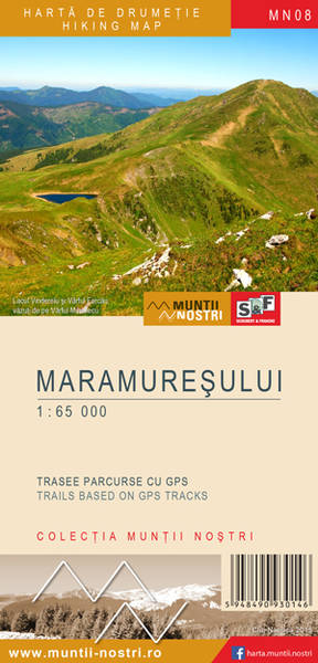
Type: folded
Scale: 1:65,000
Hiking map and guide with many trails based on GPS tracks. Desciptions in Romanian and in English © Schubert & Franzke
€ 16,00
Type: folded
Scale: 1:65,000
Hiking map with trails based on GPS tracks. Guide in Romanian and in English © Schubert & Franzke
€ 16,00