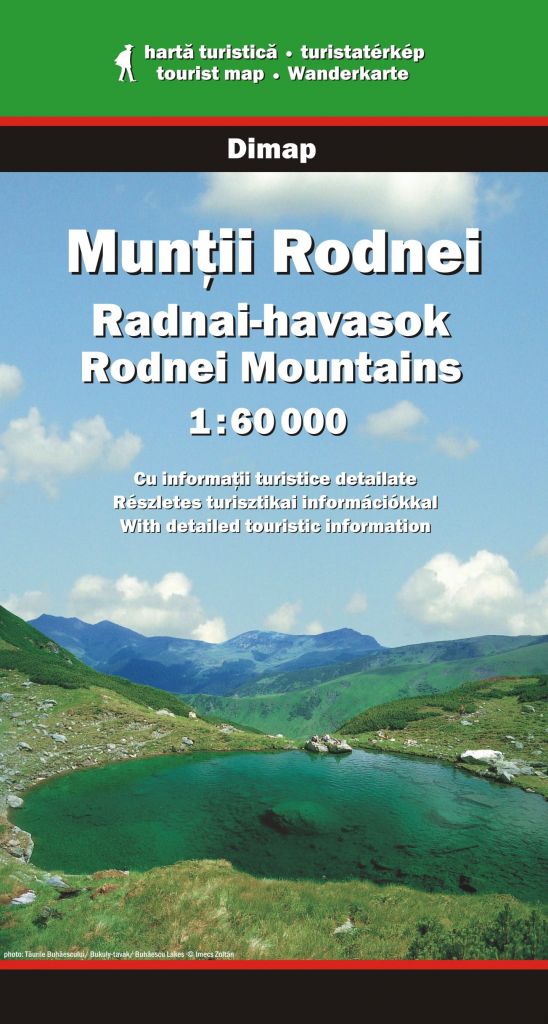
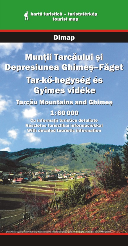
Type: folded
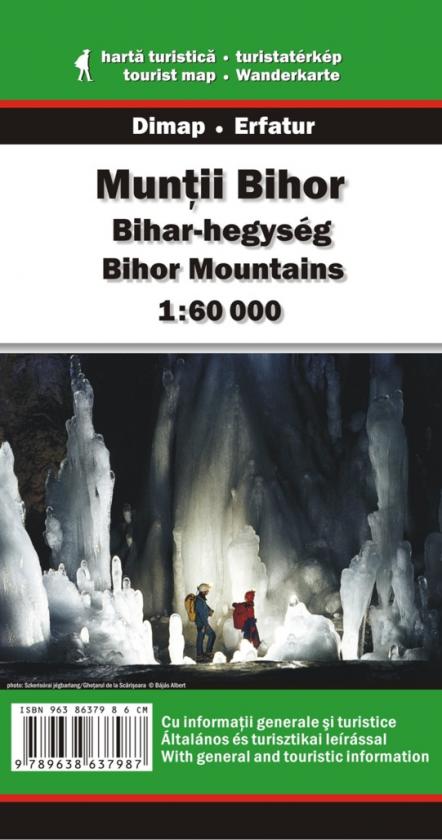
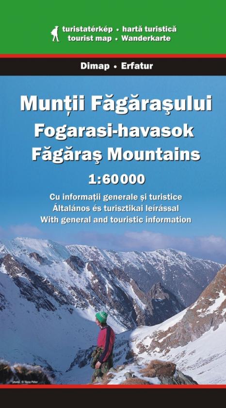
Scale: 1:60,000
Summary in Romanian/ Hungarian/English on the back. Guide of tourist routes
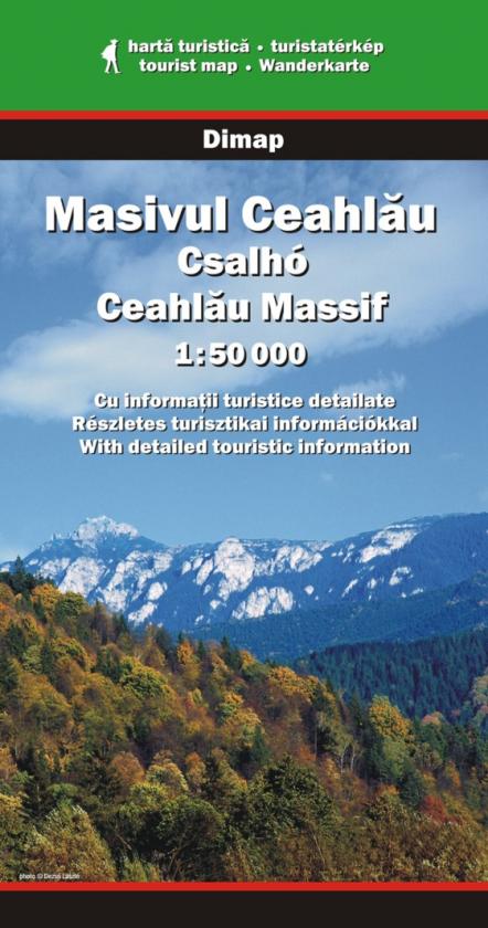
Type: folded
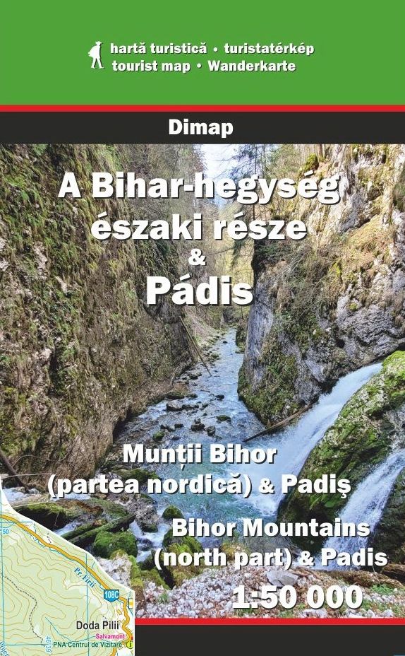
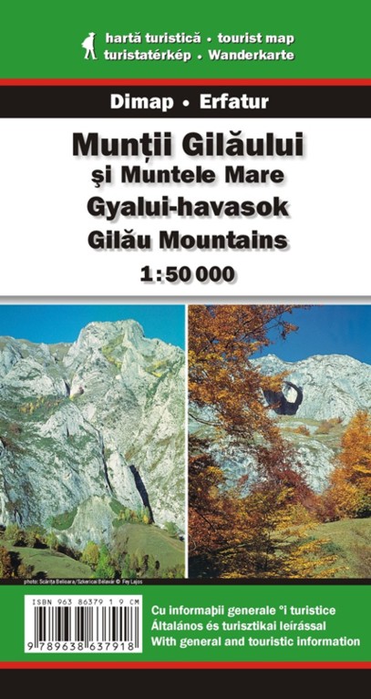
Scale: 1:50,000
New publication, 2024
Digital version is also available. It can be found at Maps for Mobile Devices
Type: file
Scale: 1:50,000
New publication
You can buy it from Avenza Map Store
$ 9.99 USD
Type: folded
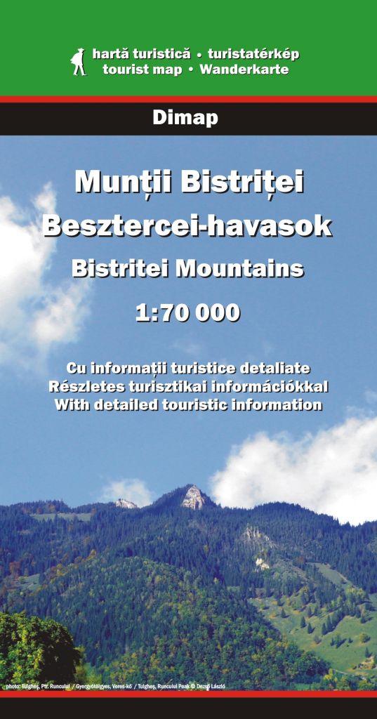
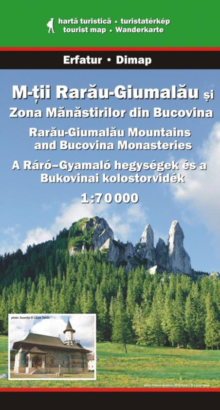
Scale: 1:70,000
Summary in Romanian/ Hungarian/English about the mountains and tourist routes. Digital version can be found at Maps for Mobile Devices
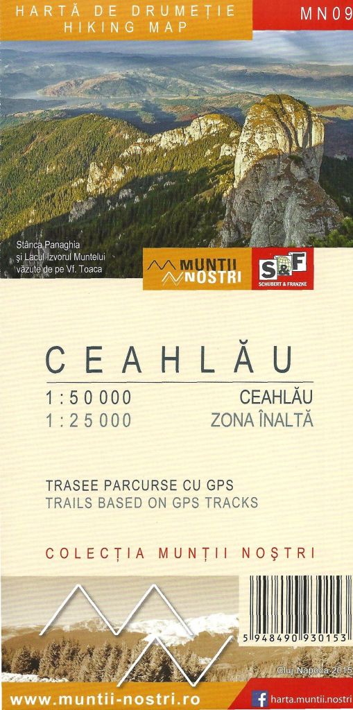
Type: folded
Scale: 1:25,000, 1:70,000
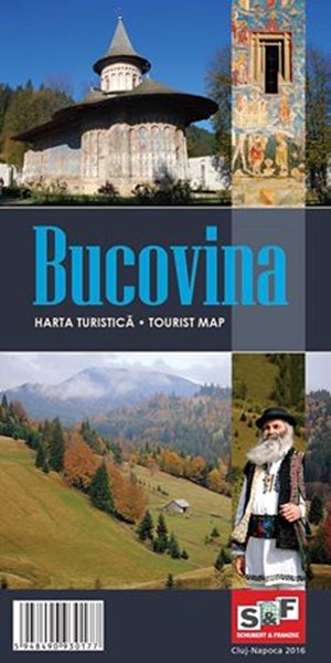
Hiking map and guide with many trails based on GPS tracks. Descriptions in Romanian and in English. © Schubert & Franzke
Type: folded
Scale: 1:160,000
Road map of the famous "Monasteries Region" of Bucovina. Guide in Romanian and in English about the sights.
Type: folded
Scale: 1:70,000
Summary in Romanian/ Hungarian/English on the back. Guide of the tourist routes.
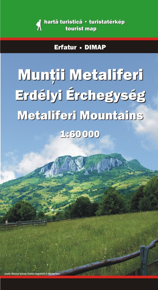
Type: folded
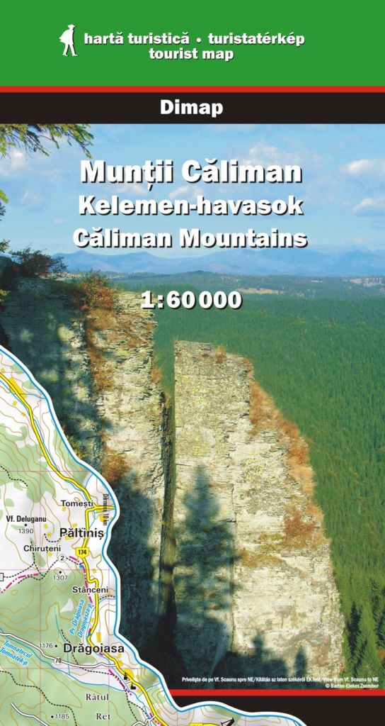
Scale: 1:60,000
Summary in Romanian/ Hungarian/English on the back. Download version can be found at Maps for Mobile Devices
Type: folded
Scale: 1:70,000
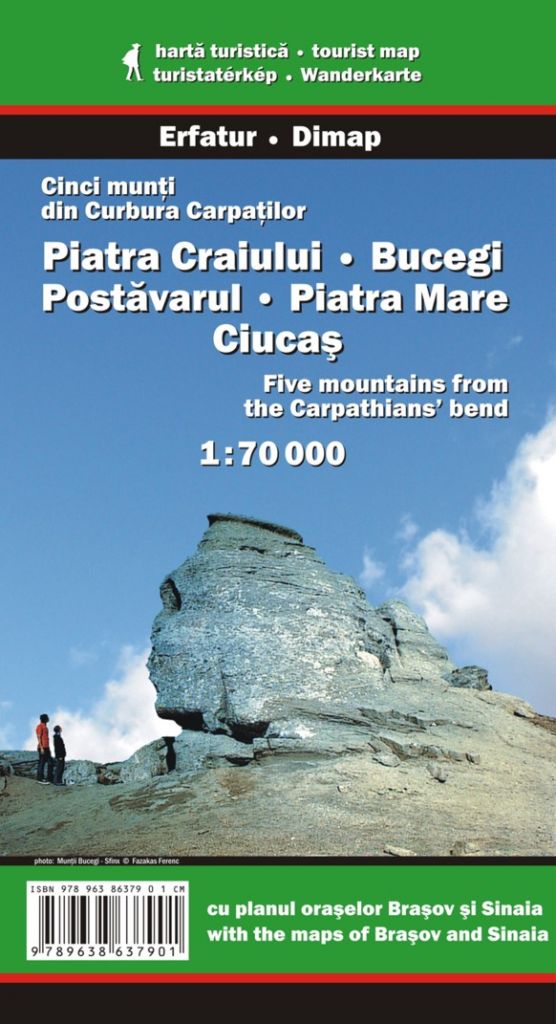
Map of Piatra Craiului, Bucegi, Postavarul, Piatra Mare and Ciucas Mountains. Summary in Romanian/Hungarian/German/English on the back. Map of Brasov and Sinaia.
Type: folded
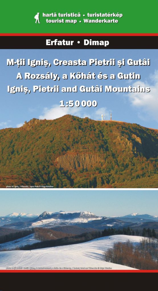
Scale: 1:50,000
Summary in Romanian/ Hungarian/English on the back. Paper version is not available. Digital version can be found at Maps for Mobile Devices
Type: folded
Scale: 1:50,000; 1:25,000
Hiking map and guide with many trails based on GPS tracks. Descriptions in Romanian and in English © Schubert & Franzke.
Type: folded
Scale: 1:60,000
Map of the Domogled–Valea Cernei National Park and Baile Herculane. Tourist trails based on GPS tracks. Descriptions in Romanian and in English. © Schubert & Franzke
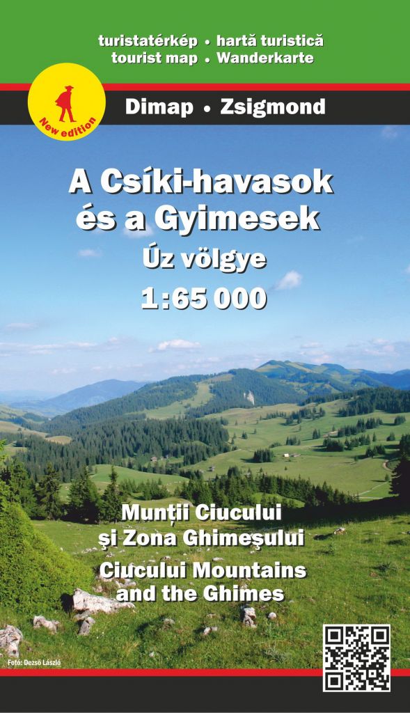
Type: folded
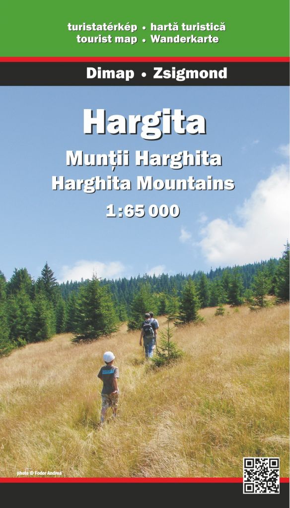
Scale: 1:65,000
New edition, 2022
Digital version is also available. It can be found at Maps for Mobile Devices
Type: folded
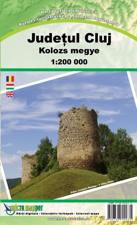
Scale: 1:200,000
Summary about the county and the main sights on the back © MicroMapper SRL
Type: folded
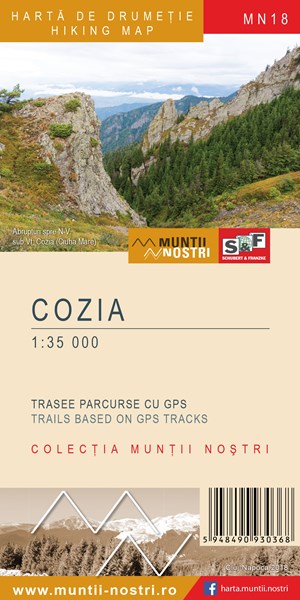
Scale: 1:35,000
The map shows the area of the Cozia National Park which is a mountainous area in the Southern Carpathians.
Hiking map and guide with many trails based on GPS tracks. Descriptions in Romanian and in English. © Schubert & Franzke
Type: folded
Scale: 1:35,000 — 1:80,000
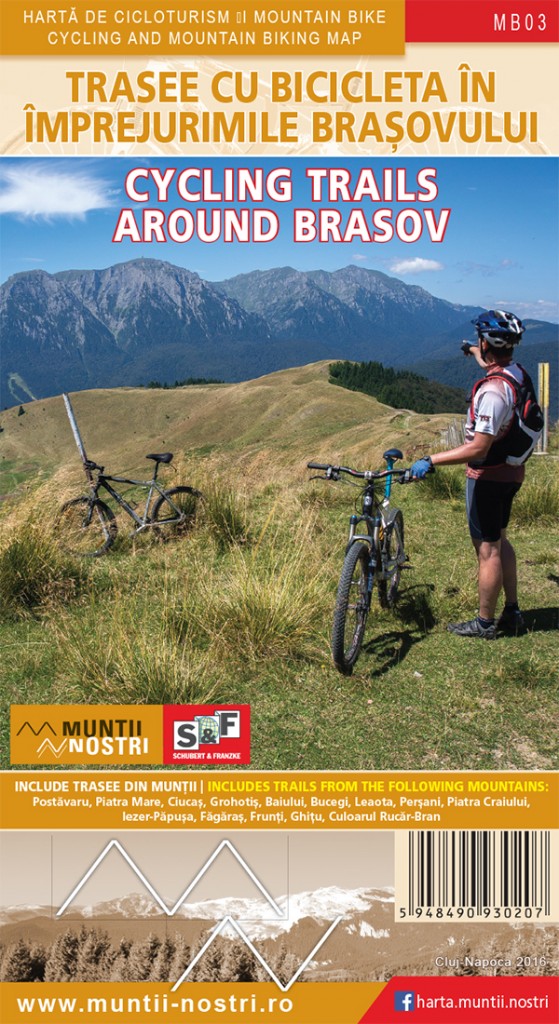
Map-sheets of 18 biker zones of the mountains surrounding Brasov © Schubert & Franzke
Type: folded
Scale: 1:35,000 — 1:80,000
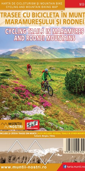
Map-sheets of 12 biker zones of the mountains © Schubert & Franzke
Type: folded
Scale: 1:50,000; 1:60,000
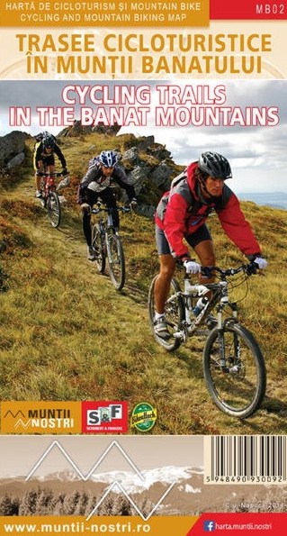
Map-sheets of 19 biker zones of the Banat and 8 maps of thematic themes (lakes, mines, ethnics) © Schubert & Franzke
Type: folded
Scale: 1:150,000
Tourist map of the region and the Biosphere Reserve. Description of tourist routes on waterways (in Romanian and in English) © Schubert & Franzke
Type: folded
Scale: 1:60,000
Summary in Romanian/ Hungarian/English on the back. Guide of tourist routes.
Type: folded
Scale: 1:75,000; 1:35,000
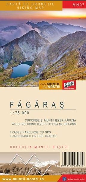
Two hiking maps with many trails based on GPS tracks. Guide in Romanian and in English © Schubert & Franzke
Type: folded
Scale: 1:50,000
Summary in Romanian/ Hungarian/English on the back. Guide of tourist routes.
Type: folded
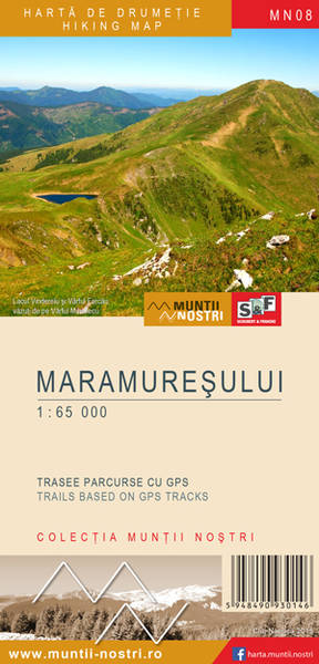
Scale: 1:65,000
Hiking map with trails based on GPS tracks. Guide in Romanian and in English © Schubert & Franzke
Type: folded
Scale: 1:60,000
New edition, 2023
Digital version can be found at Maps for Mobile Devices
Type: folded
Scale: 1:60,000
Summary in Romanian/ Hungarian/English on the back. Guide of tourist routes.
Type: folded
Scale: 1:65,000
New edition, 2023
Digital version can be found at Maps for Mobile Devices
Type: folded
Scale: 1:50,000
Summary in Romanian/ Hungarian/English on the back. Map of Baia Mare and Sighetu Marmatiei.
Type: folded
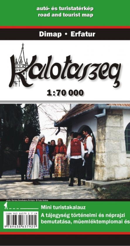
Scale: 1:70,000
Summary of the historical and ethnographical attributes of the region on the back.
Type: folded
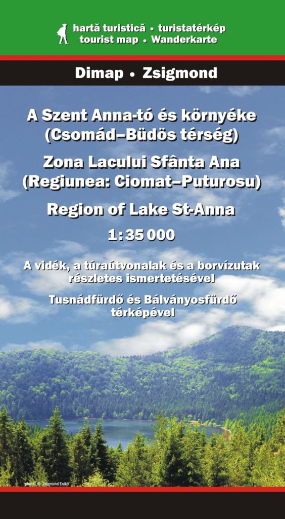
Scale: 1:35,000
Summary in Hungarian/ Romanian/English/German on the back. Map of Baile Balvanyos and Baile Tusnad. Guide of tourist and 'mineral water' routes.
New edition (digital version), 2021 can be found at Maps for Mobile Devices
Type: folded
Scale: 1:65,000
Hiking map and guide with many trails based on GPS tracks. Desciptions in Romanian and in English © Schubert & Franzke
Type: folded
Scale: 1:60,000
Summary in Romanian/ Hungarian/English on the back. Guide of tourist routes.
Type: folded
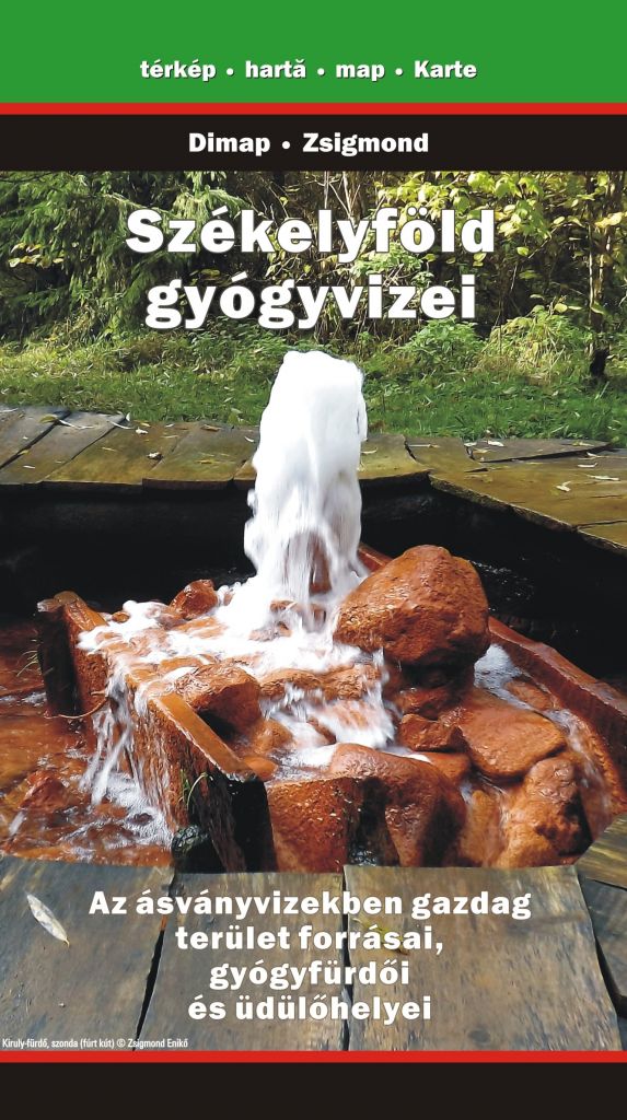
Scale: 1:250,000
The map shows the springs and the spas of the former volcanic area. Description of the main springs (in Hungarian).
Type: folded
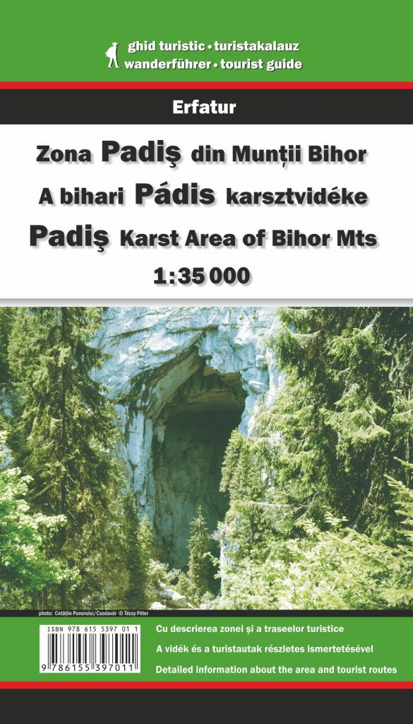
Scale: 1:35,000
New edition, 2023
Map of the karst region of Bihor Mountans. Summary in Romanian, Hungarian and in English on the back. Guide of tourist routes.
Type: folded
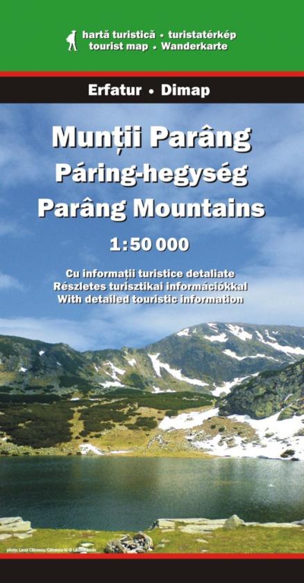
Scale: 1:50,000
Summary in Romanian/ Hungarian/English on the back. Sketches of the bigger caves. Guide of tourist routes. Download version can be found at Maps for Mobile Devices
Type: folded
Scale: 1:50,000
Summary in Romanian/ Hungarian and English on the back. Guide of tourist routes.
Type: folded
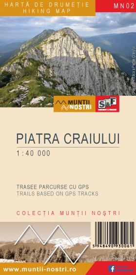
Scale: 1:40,000
Hiking map and guide with many trails based on GPS tracks. Descriptions in Romanian and in English © Schubert & Franzke
Type: folded
Scale: 1:50,000
New edition, 2020
Summary in Romanian/ Hungarian/English on the back. Guide of tourist routes.
Digital version is also available. It can be found at Maps for Mobile Devices
Type: folded
Scale: 1:60,000
Summary in Romanian/ Hungarian/English/German on the back. Guide of tourist routes. Digital version can be found at Maps for Mobile Devices.
Type: folded
Scale: 1:75,000
Summary in Romanian/ Hungarian/English language on the back.
Type: folded
Scale: 1:50,000
Summary in Romanian/ Hungarian and English on the back. Tourist routes, accommodations.
Type: folded
Scale: 1:60,000
Summary in Romanian/ Hungarian/English on the back. Guide of tourist routes. Digital version is available at Maps for Mobile Devices
Type: folded
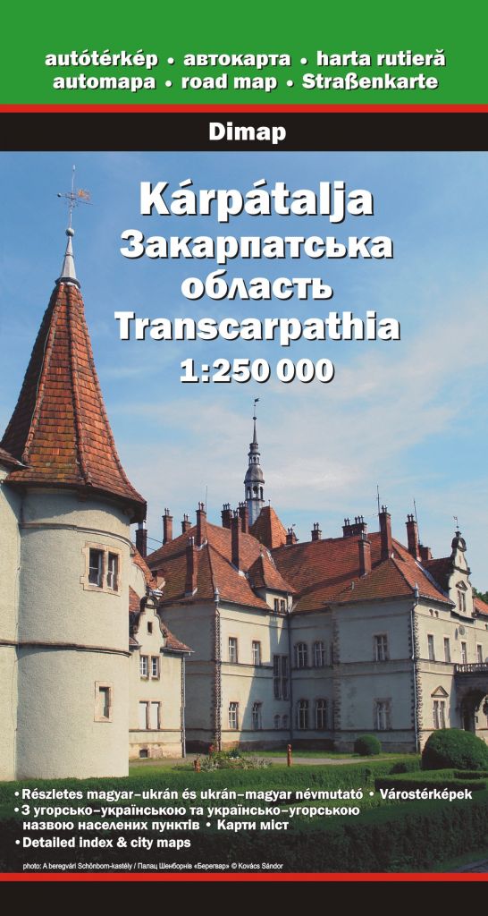
Scale: 1:250,000
+ Map of Uzhhorod, Berehove, Khust and Mukacheve. Detailed index with historical names and information on the back.
Type: folded
Scale: 1:55,000
Hiking map and guide with many trails based on GPS tracks. Descriptions in Romanian and in English © Schubert & Franzke
Type: folded
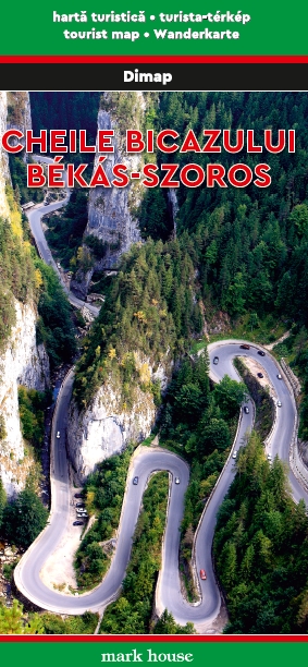
Scale: 1:50,000
Romanian and Hungarian descriptions on the back. Guide of tourist routes. Detailed map of the gorge.
Type: folded
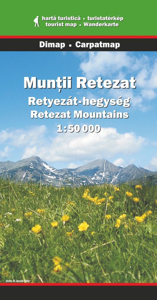
Scale: 1:50,000
Summary in Romanian/ Hungarian/English on the back. Guide of tourist routes, list of accommodations and scenic spots. © Carpatmap, MicroMapper SRL
Type: folded
Scale: 1:65,000
Hiking map with trails based on GPS tracks. Guide in Romanian and in English © Schubert & Franzke


